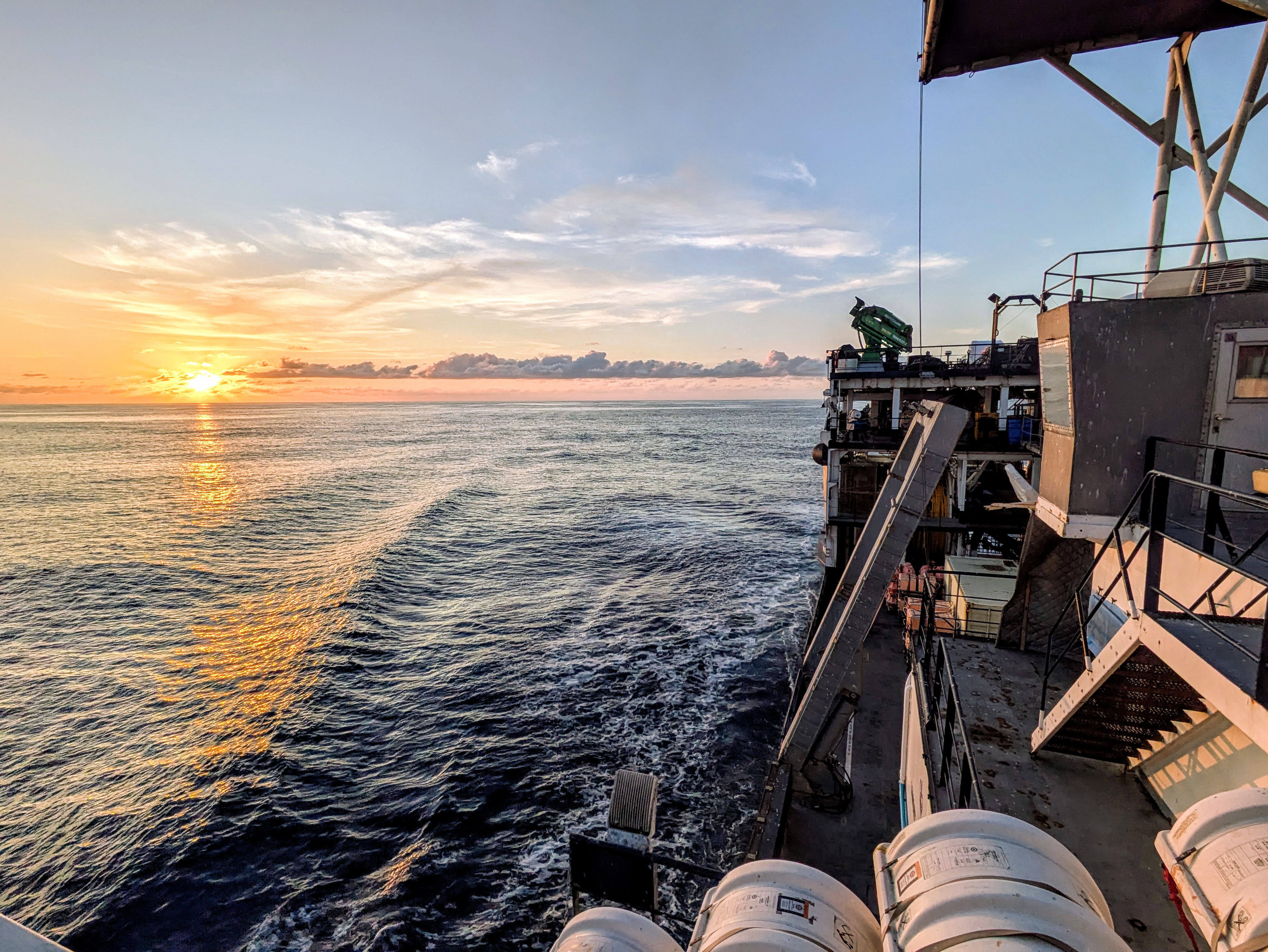
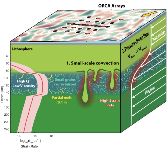
The seismology group in the Department of Earth and Environmental Sciences at Syracuse University focuses on using seismic waves to image Earth’s crust and upper mantle to understand tectonic processes. We are interested in questions pertaining to the mechanics of extensional environments (from continental rifting to seafloor spreading), the role of melt and volatiles in the upper mantle, and Earth’s thermodynamic and rheological state and how it contributes to and reflects mantle dynamics. We study these processes by building tomographic models of Earth’s interior that incorporate geochemical, geodynamic, and mineral physics constraints. This work often requires us to travel to interesting places, such as the oceans, to collect new datasets at unmapped locations.
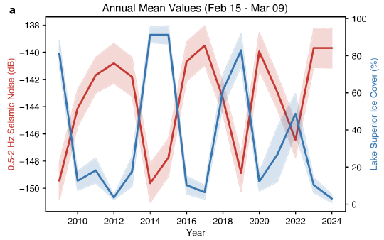
Seismic data can also be used as a tool for environmental sensing. Our group uses seismic data in new ways to understand environmental processes occurring at Earth’s surface, such as the effect of lake ice on microseism noise in the Great Lakes region. We are also affiliated with the Syracuse University Center for Gravitational Wave Astronomy and Astrophysics where we are actively working on near-surface imaging for site selection for the next-generation gravitational-wave observatory Cosmic Explorer.
I am currently looking for motivated students to join our research group. Please reach out to find out more about research opportunities and life at Syracuse University.
PhD in Seismology, 2021
Columbia University
MPhil in Seismology, 2019
Columbia University
MA in Seismology, 2017
Columbia University
BS in Physics, 2015
University of Missouri - Columbia
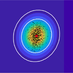
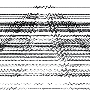
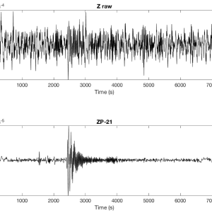
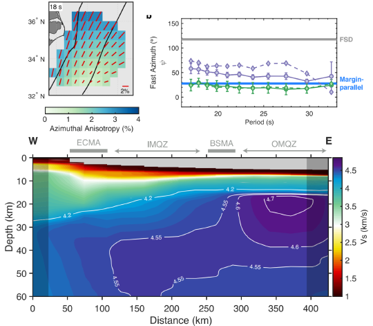
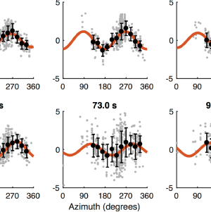
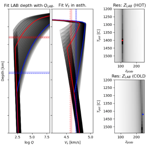
We use seismic wave speed, anisotropy, and attenuation to constrain structure, flow, and rheology of the upper mantle in locations that have never before been mapped. This often leads us to interesting places, including the middle of the ocean. Much of this work relies on seismic ambient noise produced by ocean waves interacting with the solid Earth, which we can extract useful signals from.
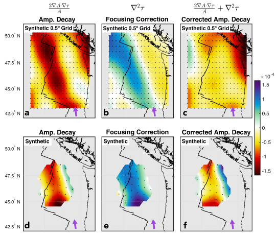
Open coding helps push science forward and improves reproducibility. Our group is committed to code sharing and developing community tools. Listed here are a few that we use and/or actively develop for surface-wave measurements & imaging, ocean-bottom seismic data processing, anelastic modeling, and more.
 Simple_X
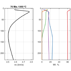
 A seismologist-friendly Matlab wrapper for the thermodynamic tool Perple_X that estimates Vp and Vs for a desired composition
 MINEOS_synthetics
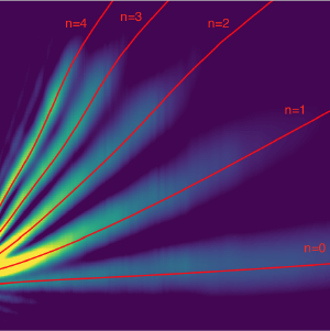
 Calculate synthetic seismograms for layered Earth models using the mode summation code MINEOS. Also outputs dispersion curves, sensitivity kernels, and eigenfunctions
 ASWMS-Q
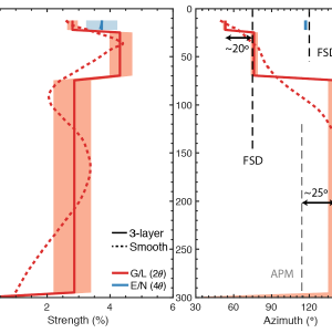
 Automated Surface-Wave Measurement System of Jin & Gaherty (2015), adapted for attenuation, amplification, and azimuthal anisotropy.
 VBR
VBR The Very Broadband Rheology calculator estimates mechanical behavior of olivine on timescales ranging from elastic to fully viscous.
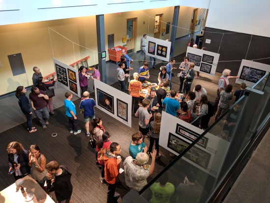
Science communication and outreach are key components of doing science, and we are always looking for new ways to approach them. Below are examples of successful outreach initiatives that we have been involved in.
Getting out from behind the computer…